INTRODUCTION TO QGIS
Course Description
This is a one-day practical training course introduces
- GIS and QGIS
- Basic QGIS tools & plugins
- Adding data
- Understanding Layer
- Digitisation
- Map production
What you will learn
This one-day extensive training course will help you gain basic skills on adding, understanding and editing of point, line & polygon data, imagery data (e.g. satellite data) and producing professional maps using QGIS tools and plugins with no prior knowledge about QGIS.
- Introduction to GIS
- Application of GIS in different fields of natural resource/asset management, utility and engineering.
Exercise-1: Download and install QGIS (if not already done so!), Open QGIS, familiarity with its interface, basic tools, toolbars, layers & brows panel and their functionalities; toolbox, searching and adding tools; arranging different sets of tools of your choice, Setup options of theme, Icon size and font, autosave etc. Understanding QGIS plugins, installing plugins and using of Web services or QuickMapService to add different types of road and satellite maps.
Exercise-2: Adding vector (i.e. Point, Line & Polygon) & raster layers, exploring different types of data, overlaying layers, understanding layer properties, information & layer source; coordinate reference system
Exercise-3: Understanding of data layers, identifying different features on the maps, exploring attribute tables of point, line, polygon features, understanding the link between the spatial and attribute data, selecting, deselecting, invert selecting of data, using expression query, filtering data, symbology and use of different style of point, line & polygon; labelling features, creating subset of data, basic statistics of different fields.
Exercise-4: Creating shape files for Point, Line and Polygon; digitising Point, Line and Polygon features using satellite imagery, calculating coordinates for point, Length for Line and areas for Polygon features; creating Points from excel spreadsheet file (i.e. add XY coordinates), add attributes to the table and save as .shp file
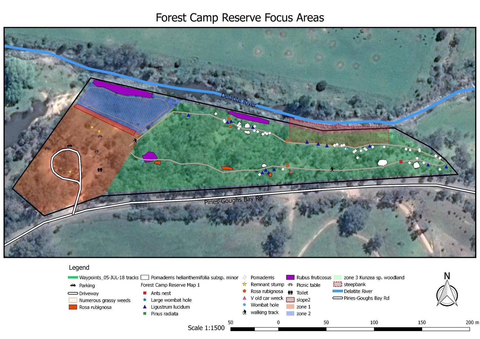
Exercise-5: Understating and creating thematic and colour ramp maps; creating maps with Map Composer, Adding maps elements, for example, Title, Legend different layers of choice; Scalebar & Scale, North Arrow and any note. Choosing right Text and background for each map element; saving the map template of your choice, printing maps, exporting maps in PDF, Image formats. Finally saving the project for future use.
Training Manual: A training manual developed by GIS Solution Services will be handed in prior to the training commences
Exercise Data: Relevant data will be provided in the class for exercise and for taking home
The outcome of this course: Upon completion of this course you will learn
- Basic understanding of GIS
- How to use basic QGIS tools & plugins
- Adding, symbolizing and classifying vector & raster data and displaying open source imagery
- Digitising and manipulating vector data
- Producing professional maps (electronic and paper) with minimal or no supervision.
Course Booking Information
| Course Duration: | 1-Day (8 hours) |
| Course price: |
$800 + GST (One-to-One) Please contact for your organisation or group training |
| Training Time: | 9:00 AM – 5:00 PM |
| Training Method: |
Online (due to COVID-19) Please contact for Face to Face training |
Please contact us or call / SMS 0402929007 to discuss your training need.