CREATING & EDITING VECTOR DATA
Course Description of creating & editing Vector Data
This is a one-day practical training course introduces
- Data Formats
- Data Creation
- Digitisation
- Data Editing
- Create Attribute table
- Map production
What you will learn in Creating & editing vector data
- Introduction to different data formats
- Editing all types of geometric features including point, line and polygons
Exercise-1: Opening and exploring different types of data formats of QGIS, ESRI Shapefiles (.SHP), MapInfo TAB/MID/MIF), AutoCAD (DXF / DWG), MicroStation (DGN), GML (used by Google Earth) used and produced by a number GIS software. Converting data into in QGIS platform that can be used by any GIS software (e.g. DXF to shape).
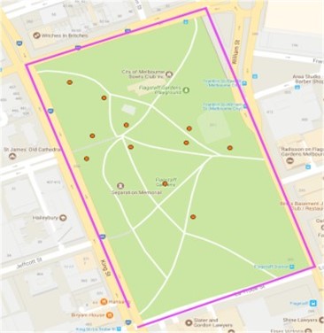
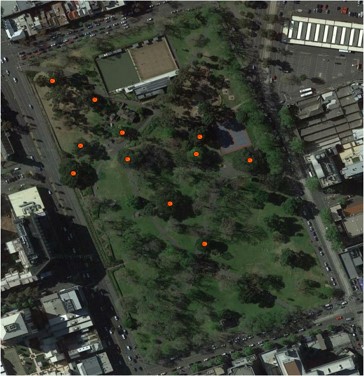
Exercise-2: Setting up snapping tolerance for project and layers. Digitising (Adding Features) Point for trees (for example), moving, resizing, deleting points, Snapping points to point of interest such as points, lines, vertex etc. Creating shape files for Point. Calculating coordinates for point features. Creating Points from excel spreadsheet file (i.e. add XY coordinates) and save as a .shp file. add a picture of digitizing Point / Line / Polygon.
Exercise-3: Creating shape files Line. Digitizing line feature (for example, roads) using satellite imagery, creating parallel, perpendicular, angular lines, splitting etc. Calculating the length of Line features.
Exercise-4: Creating shape files for Polygon. Digitizing polygon feature (for example, land boundary) using satellite imagery Reshaping polygon, adding and deleting part of the polygon, merging polygons, adding/ deleting rings etc. Creating a rectangle, square etc. Calculating the area of polygon features.
Exercise-5: Understating and creating thematic and colour ramp maps; creating maps with Map Composer, Adding maps elements, for example, Title, Legend different layers of choice; Scalebar & Scale, North Arrow and any note. Choosing right Text and background for each map element; saving the map template of your choice, printing maps, exporting maps in PDF, Image formats. Finally saving the project for future use.
Training Manual: A training manual developed by GIS Solution Services will be handed in prior to the training commences.
Exercise Data: Relevant data will be provided in the class for exercise and for taking home.
The outcome of this course: Upon completion of this course you will learn
- Understanding different types of data formats
- Creating shape (.shp) files for Point/Line/Polygon Features
- Digitising and editing
- Advance techniques of editing
- Adding columns to attributes tables and manipulating vector data
- How to choose different data types
- How to use basic QGIS tools & plugins to edit data
- Producing professional maps (electronic and paper) with minimal or no supervision.
Course Booking Information
| Course Duration: | 1-Day (8 hours) |
| Course price: |
$800 + GST (One-to-One) Please contact for your organisation or group training |
| Training Time: | 9:00 AM – 5:00 PM |
| Training Method: |
Online (due to COVID-19) Please contact for Face to Face training |
Please contact us or call / SMS 0402929007 to discuss your training need.