GIS Spatial Services Across Australia | Professional GIS Mapping & Spatial Analysis by GIS Solution
The Critical Role of Spatial Services in Modern Australia
In today’s rapidly evolving world, spatial information has become a fundamental tool for smarter decision-making. Whether managing urban development, environmental conservation, resource allocation, or emergency response, understanding spatial relationships provides organizations with a decisive edge.
At GIS Solution, we specialize in delivering professional Spatial Services designed to meet the diverse needs of businesses, government agencies, non-profits, and environmental organizations across Australia. Our solutions empower you to visualise, interpret, and harness spatial data to drive more informed strategies, improve operational efficiencies, and unlock new opportunities.
We are proud to offer flexible, client-cantered services using leading-edge GIS technologies like QGIS, ArcGIS, and powerful open-source tools.
What Are Spatial Services?
Spatial Services encompass the collection, management, analysis, visualization, and interpretation of geospatial data, information tied to locations on Earth’s surface. By analyzing the relationships between physical spaces, assets, and environmental factors, Spatial Services help organizations to:
- Identify patterns and trends
- Improve resource management
- Optimize operations and logistics
- Support sustainable development
- Respond effectively to emergencies
- Enhance policy-making and planning
From creating a detailed land use map for a local council to conducting risk analysis for a mining operation, spatial services are integral across industries.
Our Spatial Services Offerings
At GIS Solution, we provide a full range of Spatial Services tailored to meet each client’s unique needs:
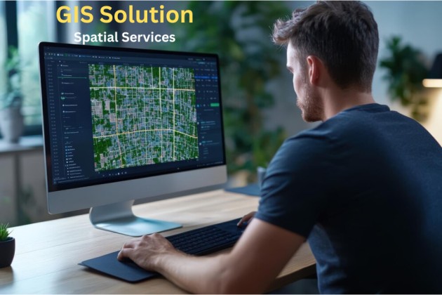
GIS Mapping and Cartography
We create detailed, high-quality maps that provide critical insights and support better decision-making. Our mapping services include:
- Land use and zoning maps
- Infrastructure mapping
- Environmental impact maps
- Utility and asset mapping
- Custom thematic and topographic maps
Spatial Data Collection and Processing
Accurate data is the backbone of any GIS project. We specialize in:
- Field data collection using mobile apps like QField
- Aerial data integration from drones and satellites
- Georeferencing and digitizing historical maps
- Spatial data cleaning, validation, and formatting
Spatial Analysis and Modeling
We turn raw spatial data into actionable insights through:
- Suitability analysis for urban planning or development
- Environmental risk assessments
- Network analysis (e.g., transport and logistics optimization)
- Demographic and socioeconomic analysis
- Predictive modeling for future growth scenarios
Spatial Database Design and Management
Our team designs, builds, and manages spatial databases that are:
- Scalable
- Secure
- Easy to maintain
- Compatible with open-source and commercial GIS platforms
We ensure your data is organized, accessible, and future-proof.
GIS Consulting and Custom Solutions
Need help integrating GIS into your operations? We provide:
- GIS project scoping and planning
- Workflow design and process optimization
- Custom GIS application development
- Integration with existing enterprise systems
Industries We Support Across Australia
Our Spatial Services are trusted by organizations in a wide range of industries:
Industry |
How We Help |
| Urban Planning & Government | Site suitability, infrastructure mapping, zoning analysis |
| Environmental Management | Conservation planning, habitat mapping, impact assessments |
| Utilities & Infrastructure | Asset management, route optimization, risk analysis |
| Mining & Resources | Exploration mapping, site management, regulatory compliance |
| Agriculture | Precision farming, soil analysis, crop monitoring |
| Emergency Services | Disaster risk mapping, emergency response planning |
Wherever spatial data is needed, GIS Solution can deliver powerful, tailored services.
Why Spatial Services Are Essential for Modern Organizations
The world is increasingly connected, but also increasingly complex. Organizations across every sector are discovering the critical advantages of using spatial data:
Enhanced Decision-Making
Spatial analysis reveals insights not visible through traditional data, enabling smarter, faster, and more confident decisions.
Operational Efficiency
Visualizing assets, logistics, and workflows geographically helps streamline operations, reduce costs, and identify inefficiencies.
Regulatory Compliance
Many industries, especially in mining, energy, and urban planning, must meet stringent regulatory requirements related to land use, environmental impact, and resource management. GIS-based services simplify compliance reporting.
Risk Management
Identify potential hazards, plan evacuation routes, or predict areas at risk of flooding, fire, or other natural disasters — spatial services are vital tools for risk mitigation.
Competitive Advantage
Companies that leverage spatial intelligence outperform competitors by targeting markets better, planning resources smarter, and responding to changes faster.
Technologies We Use
At GIS Solution, we leverage the latest GIS platforms and open-source tools to deliver the highest quality services, including:
- QGIS: Powerful, flexible open-source GIS software
- ArcGIS: Industry-leading platform for enterprise GIS
- PostGIS: Advanced spatial database extension for PostgreSQL
- QField: Mobile field data collection solution
- GDAL/OGR: Open-source libraries for raster and vector data processing
- Custom web mapping applications using Leaflet, Mapbox, or OpenLayers
Our technology stack ensures that your spatial data is handled efficiently, securely, and cost-effectively.
Our Process – A Collaborative Approach to Spatial Excellence
Step 1 – Consultation & Needs Assessment
We listen carefully to understand your goals, challenges, and requirements.
Step 2 – Data Collection & Preparation
We gather and validate all necessary spatial and attribute data.
Step 3 – Analysis & Solution Design
We apply advanced spatial analysis techniques to develop actionable solutions.
Step 4 – Delivery & Implementation
We present insights in user-friendly formats and support smooth integration into your operations.
Step 5 – Ongoing Support & Maintenance
Our commitment doesn’t end with delivery, we provide ongoing support, updates, and advice as needed.
Frequently Asked Questions (FAQs)
Q: What areas do you serve?
We proudly serve clients Australia-wide, including metropolitan cities like Sydney, Melbourne, Brisbane, Perth, Adelaide, as well as regional and remote areas.
Q: Can you work with our existing GIS systems?
Yes. Whether you’re using QGIS, ArcGIS, or custom platforms, we can integrate and enhance your current systems.
Q: How long does a typical spatial project take?
Project timelines vary based on complexity, but we work efficiently to meet your deadlines without compromising quality.
Q: Are your services customizable for specific industries?
Absolutely. We tailor every solution to the industry, project goals, and unique client needs.
Partner With GIS Solution – Your Spatial Services Experts
When you choose GIS Solution, you’re partnering with a team dedicated to empowering your success through expert spatial intelligence. Our deep industry knowledge, technical expertise, and commitment to client satisfaction set us apart.
Whether you need a one-time mapping project, ongoing GIS support, or a fully customized spatial solution, we are ready to deliver.
Contact us today to discuss your project and see how our Spatial Services can help you achieve your goals.
Email: [email protected]
Call Us: 61 402 929 007